SEAPLAN software is made to be as user-friendly as possible. In a single view, you can see and edit the elements of the mission (path, speed, payload, deployment and recovery points). Even untrained users can easily prepare a mission, thanks to its modern graphical interface and high-level navigation patterns.
Advanced users can also access low-level navigation functions, payload activation and parameters with the same ease-of-use. Multiple online maps are available in SEAPLAN, but you can also create custom offline maps as most standard format can be imported.


SEAPLAN software is made to be as user-friendly as possible. In a single view, you can see and edit the elements of the mission (path, speed, payload, deployment and recovery points). Even untrained users can easily prepare a mission, thanks to its modern graphical interface and high-level navigation patterns. Advanced users can also access low-level navigation functions, payload activation and parameters with the same ease-of-use. Multiple online maps are available in SEAPLAN, but you can also create custom offline maps as most standard format can be imported.

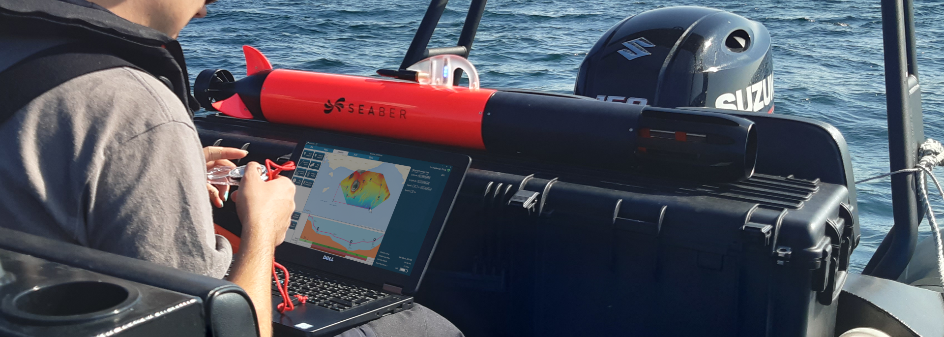
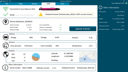
SEAPLAN is also the AUV dashboard. At a glance you have access to YUCO status, sensor state and mission feasibility. Smart mission analysis audits autonomy, speed and accuracy considering YUCO’s capabilities and field parameters. Moreover, a robust protocol and log analysis tools guarantee seamless security. It makes SEAPLAN a safe platform and gives users a great confidence in the success of every mission. YUCO calibration, firmware updates and mission upload are all made simple and done wirelessly via SEAPLAN. Once the mission uploaded, the AUV will simply start when submerged.

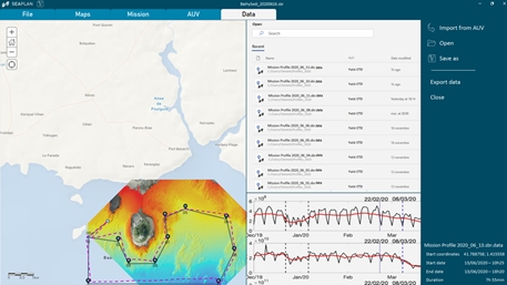
Once the AUV is recovered, SEAPLAN connects to YUCO and provides a clear mission debrief. The user could access the main mission indicators, quickly see if any problem occurred and import the raw mission data in open formats.
